

Ring 11 of Eleven · The Natural Time Warp Wheel
A corridor is a relationship between two places, not a place itself.
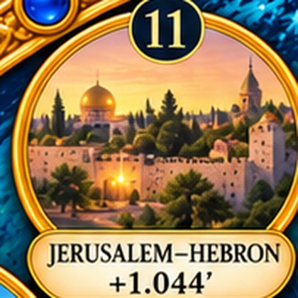
Jerusalem and Hebron are both named directly in Key 105, and the corridor between them — roughly thirty kilometres of Judean hill country carrying the Patriarchs' burial tradition at its southern end and the Temple Mount at its northern — is treated here as a single relational Area rather than two separate points.
A corridor is not fully described by either of its two ends. What matters is not simply where it starts or stops but the relationship those two ends hold, sustained across the ground between — exactly why its declared control is a corridor midpoint rather than a claim staked at either shrine.
This Area is one of the Twelve registered in Book II, The Natural Time Warp Areas. See The Natural Time Warp Wheel for the full identification table.
If you would like to reach us directly, please write through Inner Reception.