

Area VI of Twelve · The Artificial Time Warp Wheel
Still water held inside old-growth forest, at the Pacific Northwest’s outer edge.
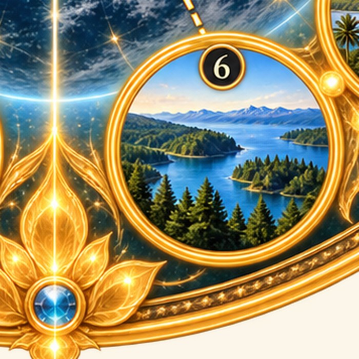
Vancouver Island carries some of the last extensive old-growth temperate rainforest on the Pacific coast — towering Douglas fir and western red cedar, some more than eight hundred years old, standing over mountain lakes so still they mirror the canopy whole. Strathcona, its oldest provincial park, sits near the island’s geographic heart.
The circle the Wheel gives this Area — a quiet lake held inside dense conifer forest — reads as Pacific Northwest coastal-forest character generally, standing in for the island rather than any single named lake within it.
This Area is one of the Twelve registered in Planetary Time Warp Architecture, Book I, Part Seven. See The Artificial Time Warp Wheel for the full identification table.
If you would like to reach us directly, please write through Inner Reception.