


Satellite VI of Twelve · Chichén Itzá, Yucatán
A pyramid built so precisely that its steps sum to exactly 365 — time deliberately built into stone.
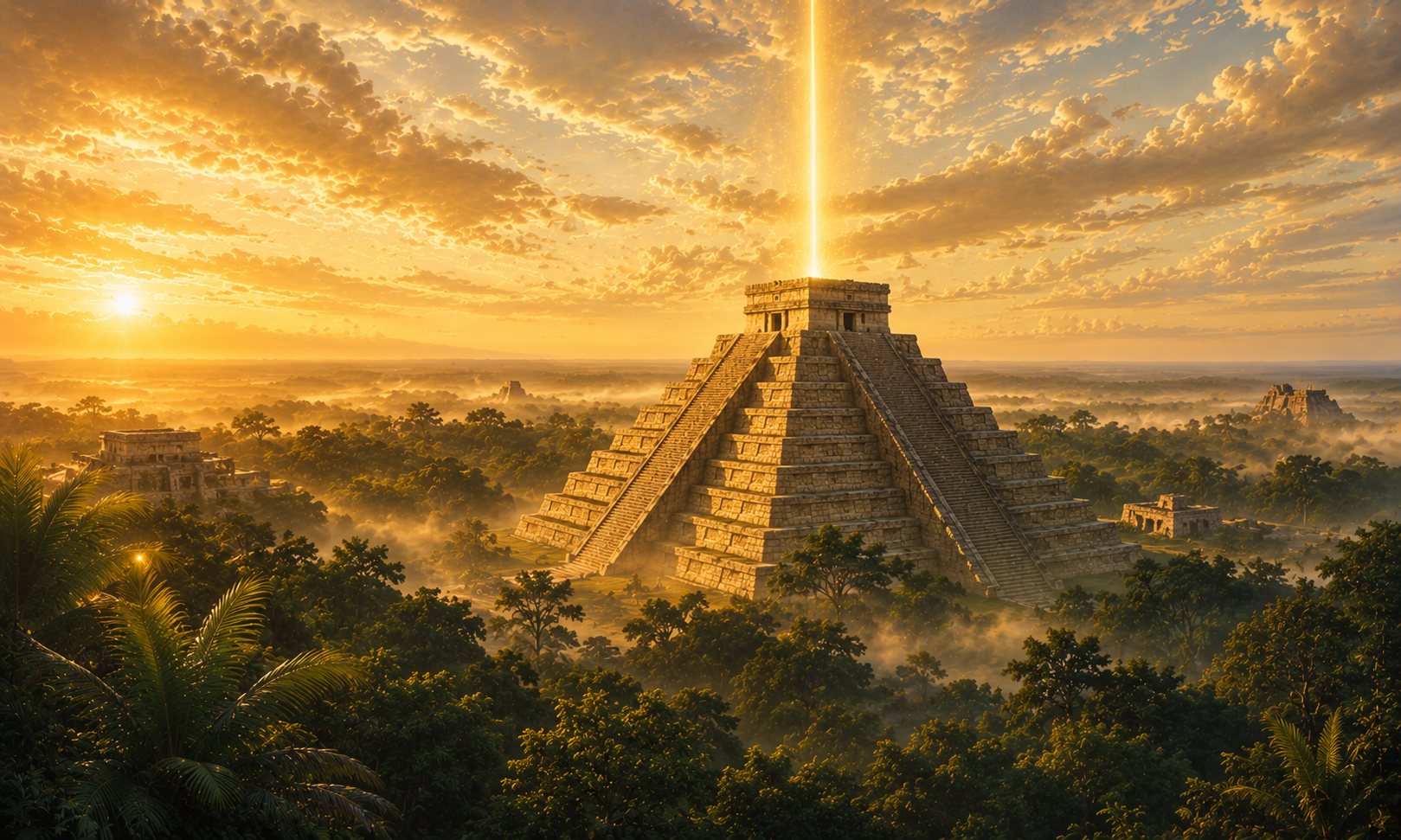
The name itself tells you what mattered most here: Chichén Itzá means, roughly, “at the mouth of the well of the Itza,” naming the sacred cenote that first drew people to this flat Yucatán limestone. At its centre stands El Castillo, whose ninety-one steps on each of four sides, plus its summit platform, sum to exactly 365 — the days of the solar year, built directly into stone.
Twice a year, at the equinox, the setting sun casts a shadow down the pyramid's northern stairway that moves like a serpent descending toward the earth. Recent imaging suggests a cenote may lie hidden directly beneath El Castillo's own foundation — the pyramid encoding the solar year built, perhaps, directly atop the sacred water the whole city is named for.
From the Sun Disc's ground in Arkansas, this Satellite sits to the south-southeast, across the Gulf of Mexico on the Yucatán Peninsula.
Each Satellite's fuller unveiling continues. More will be received, and added here, as it comes.
If you would like to reach us directly, please write through Inner Reception.